 GPSMapEdit and Flamory
Flamory provides the following integration abilities:
- Create and use window snapshots for GPSMapEdit
- Take and edit GPSMapEdit screenshots
- Automatically copy selected text from GPSMapEdit and save it to Flamory history
To automate your day-to-day GPSMapEdit tasks, use the Nekton automation platform. Describe your workflow in plain language, and get it automated using AI.
Screenshot editing
Flamory helps you capture and store screenshots from GPSMapEdit by pressing a single hotkey. It will be saved to a history, so you can continue doing your tasks without interruptions. Later, you can edit the screenshot: crop, resize, add labels and highlights. After that, you can paste the screenshot into any other document or e-mail message.
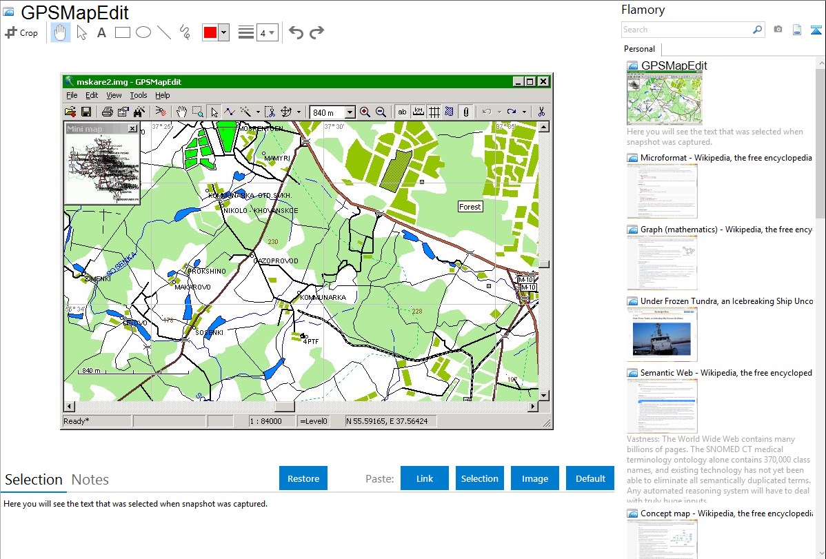
Here is how GPSMapEdit snapshot can look like. Get Flamory and try this on your computer.
Application info
This software is designed for visual authoring of GPS-maps in various proprietary cartographic formats:
Garmin MapSource,
Polish format (input files for cGPSmapper.exe),
Lowrance MapCreate,
ALAN Map 500/600,
Holux MapShow,
Navitel Navigator (navigation software for Windows Mobile, Android, Symbian, iPhone),
and custom POIs and speedcams for Garmin POI Loader, TomTom OV2, Nav N Go iGO, Navitel Navigator.
Integration level may vary depending on the application version and other factors. Make sure that user are using recent version of GPSMapEdit. Please contact us if you have different integration experience.