 GRASS GIS and Flamory
Flamory provides the following integration abilities:
- Create and use window snapshots for GRASS GIS
- Take and edit GRASS GIS screenshots
- Automatically copy selected text from GRASS GIS and save it to Flamory history
To automate your day-to-day GRASS GIS tasks, use the Nekton automation platform. Describe your workflow in plain language, and get it automated using AI.
Screenshot editing
Flamory helps you capture and store screenshots from GRASS GIS by pressing a single hotkey. It will be saved to a history, so you can continue doing your tasks without interruptions. Later, you can edit the screenshot: crop, resize, add labels and highlights. After that, you can paste the screenshot into any other document or e-mail message.
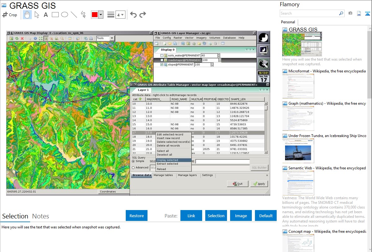
Here is how GRASS GIS snapshot can look like. Get Flamory and try this on your computer.
Application info
GRASS GIS (Geographic Resources Analysis Support System) is an open source, free software (FOSS) Geographical Information System (GIS) with raster, topological, vector, image processing, and visualization functionality. Used for geospatial data management and analysis, image processing, graphics/maps production, spatial modeling, and visualization, GRASS is currently used in academic and commercial settings around the world, as well as by many governmental agencies and environmental consulting companies.
Integration level may vary depending on the application version and other factors. Make sure that user are using recent version of GRASS GIS. Please contact us if you have different integration experience.