 2GIS and Flamory
Flamory provides the following integration abilities:
- Create and use advanced snapshots for 2GIS
- Take and edit 2GIS screenshots
- Automatically copy selected text from 2GIS and save it to Flamory history
To automate your day-to-day 2GIS tasks, use the Nekton automation platform. Describe your workflow in plain language, and get it automated using AI.
2GIS bookmarking
Flamory provides advanced bookmarking for 2GIS. It captures screen, selection, text on the page and other context. You can find this bookmark later using search by page content or looking through thumbnail list.
For best experience use Google Chrome browser with Flamory plugin installed.
Screenshot editing
Flamory helps you capture and store screenshots from 2GIS by pressing a single hotkey. It will be saved to a history, so you can continue doing your tasks without interruptions. Later, you can edit the screenshot: crop, resize, add labels and highlights. After that, you can paste the screenshot into any other document or e-mail message.
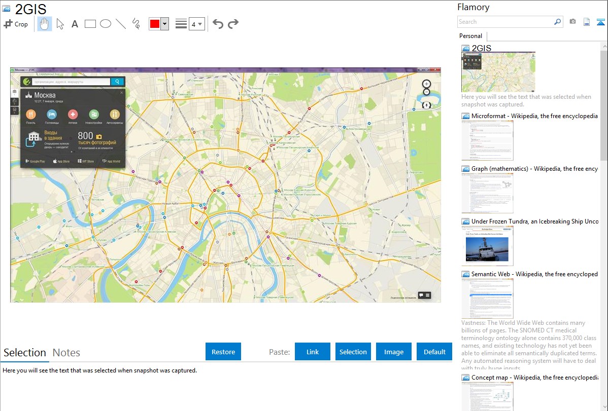
Here is how 2GIS snapshot can look like. Get Flamory and try this on your computer.
Application info
Most detailed city map
A 3D city map showing the finest details, including driveways and fences. It is available online and can be downloaded as an offline application for PC and smartphones.
Contact details of all organizations
A user-friendly search engine and detailed information on all city companies, from state agencies to nearby kiosks, including addresses, phone numbers and working hours.
Public transport routes
2GIS shows the exact location of transport stops with correspondent transport routes. You can see the whole transportation network of the city.
Integration level may vary depending on the application version and other factors. Make sure that user are using recent version of 2GIS. Please contact us if you have different integration experience.