 GeoControl and Flamory
Flamory provides the following integration abilities:
- Create and use window snapshots for GeoControl
- Take and edit GeoControl screenshots
- Automatically copy selected text from GeoControl and save it to Flamory history
To automate your day-to-day GeoControl tasks, use the Nekton automation platform. Describe your workflow in plain language, and get it automated using AI.
Screenshot editing
Flamory helps you capture and store screenshots from GeoControl by pressing a single hotkey. It will be saved to a history, so you can continue doing your tasks without interruptions. Later, you can edit the screenshot: crop, resize, add labels and highlights. After that, you can paste the screenshot into any other document or e-mail message.
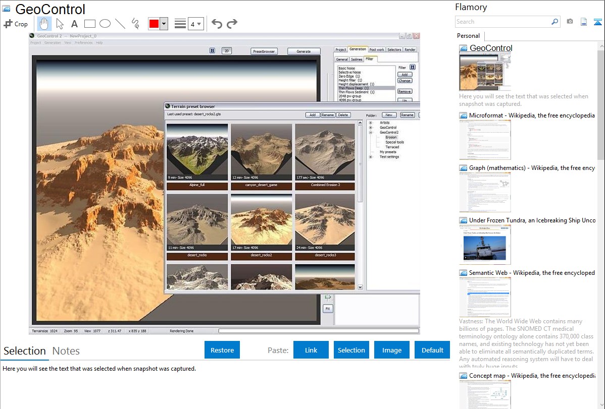
Here is how GeoControl snapshot can look like. Get Flamory and try this on your computer.
Application info
GeoControl2, the professional terrain generator.
The revolutionary concept of GeoControl2 opens up totally new dimensions of creating virtual landscapes.
The unique combination of more artistic tools and semi-scientific algorithms makes it possible to create realistic, breathtaking landsapes, based on conceptual layouts or on fantasie.
The creative tool "isolines" is completly selfdeveloped and offers the first time the opportunity, to creatively control the form of the landscape.
Beispiel Einzelbild
The interventions are none destructive, layerbased and you can allways, also afterwards, readjust, switch off or change an isoline or layer.
The artistic "shape" filters give the landscapes a typical structure, like round hills or ridged mountains.
The semi-scientific erosion algorithms turn these outlines into fantastic realistic and so believable landscapes.
Beside that flows, rivers or even river networks can be added to the terrain. The algorithm is unique, extrem fast and satisfies even scientific requierements.
But landscapes are not only defined by nature. The human factor also is a very important element. The "vector" tool "simulates" this part of a landscape. You can use it to integrate roads, urban areas or even controled rivers.
Integration level may vary depending on the application version and other factors. Make sure that user are using recent version of GeoControl. Please contact us if you have different integration experience.