 Outdooractive and Flamory
Flamory provides the following integration abilities:
- Create and use advanced snapshots for Outdooractive
- Take and edit Outdooractive screenshots
- Automatically copy selected text from Outdooractive and save it to Flamory history
To automate your day-to-day Outdooractive tasks, use the Nekton automation platform. Describe your workflow in plain language, and get it automated using AI.
Outdooractive bookmarking
Flamory provides advanced bookmarking for Outdooractive. It captures screen, selection, text on the page and other context. You can find this bookmark later using search by page content or looking through thumbnail list.
For best experience use Google Chrome browser with Flamory plugin installed.
Screenshot editing
Flamory helps you capture and store screenshots from Outdooractive by pressing a single hotkey. It will be saved to a history, so you can continue doing your tasks without interruptions. Later, you can edit the screenshot: crop, resize, add labels and highlights. After that, you can paste the screenshot into any other document or e-mail message.
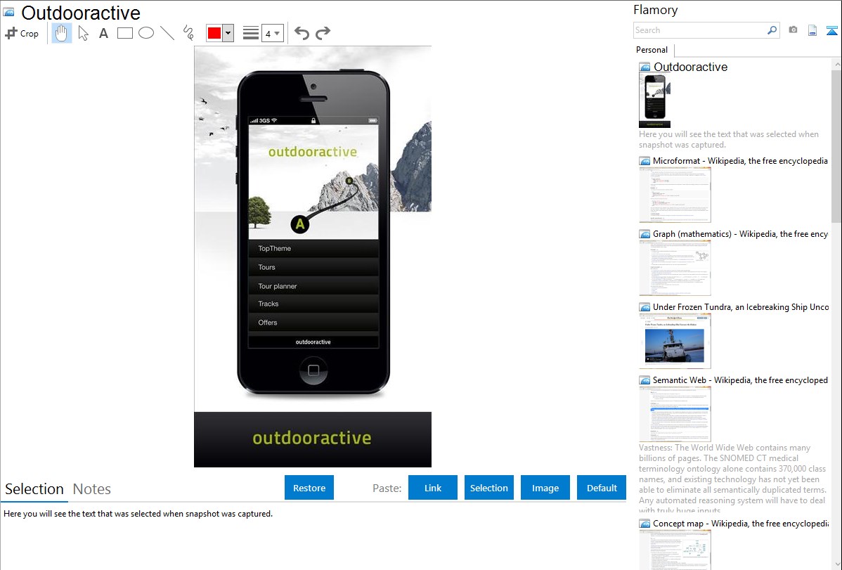
Here is how Outdooractive snapshot can look like. Get Flamory and try this on your computer.
Application info
Our Vision is to make topographic maps, tour suggestions and incredible outdoor experiences available for everyone, from everywhere - even by smartphone.
* Tours
Excellently equipped for the outdoors: thousands of professional editors create tours of various activities with proven representations including elevation profile, surface types, detailed description, points of interest along the routes and more.
*Maps
Always included: the perfect outdoor map available worldwide. In Germany, Austria and Italy including especially accurate contour lines, rock indications, all hiking trails and optional layers. Zoomable with a scale of 1:25,000 and essential for every outdoor enthusiast. Beatifully styled OpenStreetmap available worldwide.
*Tour planning on the go
Always save to your destination: with the tour planner on the go you can simply enter starting and destination point and receive hiking or cycling route recommendations. Many options available to find the perfect route
*Record your own tours
Precision for outside: record tours with ease, included georeferenced images, detailed statistic, speedometer, live elevation profile and much more.
* Import .gpx-Files via Browser, Mail-attachement, Dropbox
*Content-Scanner
easily scan QR-Codes from outdooractive.com to take a tour with you with the outdooractive App
*Many many more cool Features - just check it out
* Important note: continued use of GPS running in the background can dramatically decrease battery life!
Integration level may vary depending on the application version and other factors. Make sure that user are using recent version of Outdooractive. Please contact us if you have different integration experience.