 Ultimate US Public Campgrounds and Flamory
Flamory provides the following integration abilities:
- Create and use advanced snapshots for Ultimate US Public Campgrounds
- Take and edit Ultimate US Public Campgrounds screenshots
- Automatically copy selected text from Ultimate US Public Campgrounds and save it to Flamory history
To automate your day-to-day Ultimate US Public Campgrounds tasks, use the Nekton automation platform. Describe your workflow in plain language, and get it automated using AI.
Ultimate US Public Campgrounds bookmarking
Flamory provides advanced bookmarking for Ultimate US Public Campgrounds. It captures screen, selection, text on the page and other context. You can find this bookmark later using search by page content or looking through thumbnail list.
For best experience use Google Chrome browser with Flamory plugin installed.
Screenshot editing
Flamory helps you capture and store screenshots from Ultimate US Public Campgrounds by pressing a single hotkey. It will be saved to a history, so you can continue doing your tasks without interruptions. Later, you can edit the screenshot: crop, resize, add labels and highlights. After that, you can paste the screenshot into any other document or e-mail message.
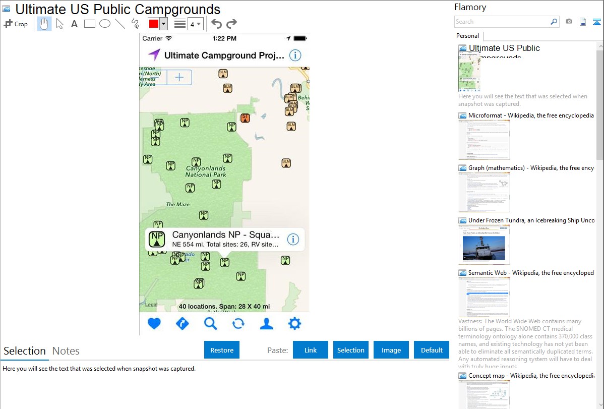
Here is how Ultimate US Public Campgrounds snapshot can look like. Get Flamory and try this on your computer.
Application info
The History of the Ulimate US Public Campground Project
In 2008 Liz and I made an eight-month circuit of the United States in our RV; on that trip we became much more aware of the availability of campgrounds operated by public entities such as cities and counties. We were, of course, familiar with state and federal parks, although I had no idea, for example, that the US Forest Service has over 5000 campgrounds. When we got home, I decided I wanted to build a list of public campgrounds, not only for my own use, but also to share with others.
My initial plan was to merely merge a number of POI lists into one.As I worked on that, however, I found a lot of errors, mainly in the coordinates, so I began an effort to verify locations. Further into the project I decided it would be useful to include some basic information about the campgrounds in addition to the GPS coordinates. All the work is done by hand; I do not use any sort of bots or other automated procedures for "mining" the data. Even after four years, I still spend several hours most days working to improve the information provided here. The basic list of locations is pretty much complete and now I'm working to add more information to the entries, although I still seem to find quite a few new locations each month to add to the list.
In 2011 a friend suggested that I put together a web-based map version of the list.
I'm confident you won't find a more complete POI list for public campgrounds in the lower 48 states than this one. It's the product of over four years of researching campgrounds, scouring hundreds of different resources, and the effort to further verify and add more data is constant. All the data shown in the balloons for each campground on the state maps is also included in the POI list. In addition, the list contains URL's for most of the entries. The list can easily be converted as necessary for importing into your GPS. To learn how to use this site and for more information about POI lists, click on the More Info button below.
Integration level may vary depending on the application version and other factors. Make sure that user are using recent version of Ultimate US Public Campgrounds. Please contact us if you have different integration experience.