 RouteConverter and Flamory
Flamory provides the following integration abilities:
- Create and use advanced snapshots for RouteConverter
- Take and edit RouteConverter screenshots
- Automatically copy selected text from RouteConverter and save it to Flamory history
To automate your day-to-day RouteConverter tasks, use the Nekton automation platform. Describe your workflow in plain language, and get it automated using AI.
RouteConverter bookmarking
Flamory provides advanced bookmarking for RouteConverter. It captures screen, selection, text of the document and other context. You can find this bookmark later using search by document content or looking through thumbnail list.
Screenshot editing
Flamory helps you capture and store screenshots from RouteConverter by pressing a single hotkey. It will be saved to a history, so you can continue doing your tasks without interruptions. Later, you can edit the screenshot: crop, resize, add labels and highlights. After that, you can paste the screenshot into any other document or e-mail message.
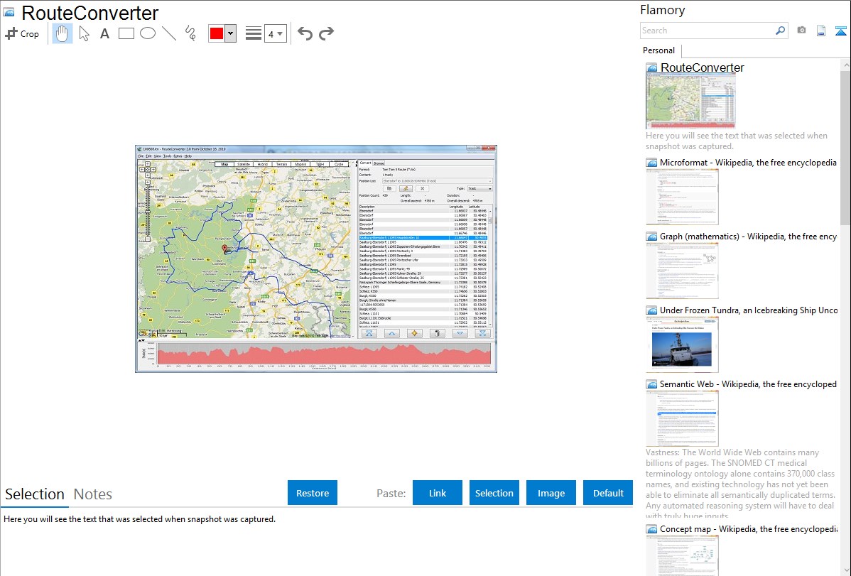
Here is how RouteConverter snapshot can look like. Get Flamory and try this on your computer.
Application info
RouteConverter displays, modifies, enriches and converts GPS data between over 75 formats. It works without installation under Linux, Mac OS X and Windows, automatically detects the format of a file, supports drag and drop, undo and redo, offers a map view onto the positions of routes, tracks and waypoints, allows to modify positions in the map view, supports multiple routes within Google Earth, GPX and Garmin MapSource files, allows to select duplicate positions to remove them to abbreviate tracks, allows to move one or more positions of the route to the top, to the bottom, upwards and downwards, allows to complement elevation, place name, postal address, speed of positions from NASA SRTM3 and geonames.org, uses file and position names that suit to the display of the TomTom Rider, uses file, route and position names that suit to the display of the Map&Guide Motorrad Tourenplaner, remembers language, paths, window size and position
Integration level may vary depending on the application version and other factors. Make sure that user are using recent version of RouteConverter. Please contact us if you have different integration experience.